File:Montenegro-UN-fr.png
Original file (537 × 613 pixels, file size: 137 KB, MIME type: image/png)
Captions
Captions
Summary
[edit]
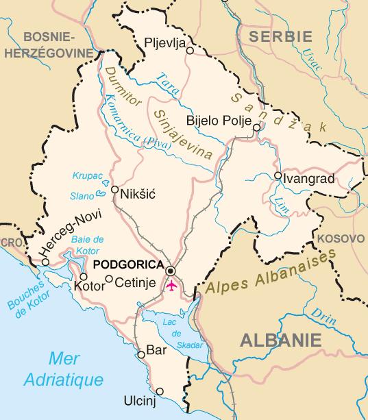
| Description | Map in French of Montenegro |
| Date | translation : September 2006 |
| Source | Image:Montenegro-un.png, adapted and edited from http://www.un.org/Depts/Cartographic/map/profile/yugoslav.pdf by Taichi |
| Author | of the translation : Eric Gaba (Sting) |
| Permission (Reusing this file) |
PD |
| Other versions | original version in English: Image:Montenegro-un.png |
- Source : Image:Montenegro-un.png, adaptée et modifiée de http://www.un.org/Depts/Cartographic/map/profile/yugoslav.pdf par Taichi;
- Autre version disponible : anglophone : Image:Montenegro-un.png
- Auteur de la traduction : Eric Gaba (fr:Sting) ;
- Date : Septembre 2006.
Licensing
[edit]
This file is in the public domain because permission given by UN as set out below
|
| This image is a map derived from a United Nations map.
Unless stated otherwise, UN maps are to be considered in the public domain. This applies worldwide. UN maps are, in principle, open source material and you can use them in your work or for making your own map. UN requests however that you delete the UN name, logo and reference number upon any modification to the map. Content of your map will be your responsibility. You can state in your publication, if you wish, something like: based on UN map … (map name, map number, revision number and date). See: Geospatial Information Section. And: Geospatial, location data for a better world. |
 |
| This work was previously under Public Domain, or a Free License. It has been digitally enhanced and/or modified. This derivative work has been (or is hereby) released into the public domain by its author, Sting at the French Wikipedia project. This applies worldwide. In some countries this is not legally possible; if so:
|
File history
Click on a date/time to view the file as it appeared at that time.
| Date/Time | Thumbnail | Dimensions | User | Comment | |
|---|---|---|---|---|---|
| current | 14:07, 15 September 2006 | | 537 × 613 (137 KB) | Sting (talk | contribs) | {{Information |Description=Map in French of Montenegro |Source=Image:Montenegro-un.png, adapted and edited from http://www.un.org/Depts/Cartographic/map/profile/yugoslav.pdf by Taichi |Date=translation : September 2006 |Author=of the |
You cannot overwrite this file.
File usage on Commons
The following page uses this file:
File usage on other wikis
The following other wikis use this file:
- Usage on fr.wikipedia.org