File:ڕۆژھەڵاتی کوردستان2.jpg
Jump to navigation
Jump to search
Size of this preview: 371 × 599 pixels. Other resolutions: 148 × 240 pixels | 297 × 480 pixels | 476 × 768 pixels | 634 × 1,024 pixels | 1,641 × 2,649 pixels.
Original file (1,641 × 2,649 pixels, file size: 404 KB, MIME type: image/jpeg)
Captions
Captions
Add a one-line explanation of what this file represents

|
This map, as well as other fictitious maps, is fictitious or too incorrect (i.e. due to anachronism) to be used in real-life contexts (contemporary or historic). It may have some visual elements that are similar to official maps such as colors or certain layout features, but they are NOT official and don't have any official recognition. |
Summary
[edit]
| Description |
کوردی: ڕۆژھەڵات1.jpg
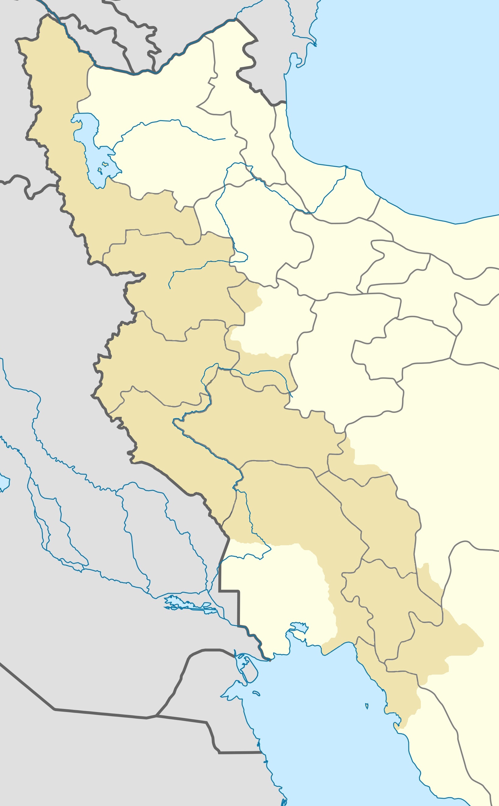
Deutsch: Karte der kurdischen Gebiete im Iran
Quadratische Plattkarte, N-S-Streckung 115 %. Geographische Begrenzung der Karte:
English: Location map of Iranian Kurdistan, Iran
Equirectangular projection, N/S stretching 115 %. Geographic limits of the map:
|
| Date | |
| Source | Own work |
| Author | Hamagelarai |
Licensing
[edit]
I, the copyright holder of this work, hereby publish it under the following license:
This file is licensed under the Creative Commons Attribution-Share Alike 4.0 International license.
- You are free:
- to share – to copy, distribute and transmit the work
- to remix – to adapt the work
- Under the following conditions:
- attribution – You must give appropriate credit, provide a link to the license, and indicate if changes were made. You may do so in any reasonable manner, but not in any way that suggests the licensor endorses you or your use.
- share alike – If you remix, transform, or build upon the material, you must distribute your contributions under the same or compatible license as the original.
File history
Click on a date/time to view the file as it appeared at that time.
| Date/Time | Thumbnail | Dimensions | User | Comment | |
|---|---|---|---|---|---|
| current | 14:01, 7 July 2019 | | 1,641 × 2,649 (404 KB) | MFTG (talk | contribs) | User created page with UploadWizard |
You cannot overwrite this file.
File usage on Commons
The following 2 pages use this file:
File usage on other wikis
The following other wikis use this file:
- Usage on arz.wikipedia.org
- بالو
- ريحان اباد
- الواتش
- ممكان
- شكل اباد
- بيبكران
- منصور اباد
- بست
- جراجى
- اورسى
- غلستانه
- دزغير
- فلكان
- خوراسب
- غارانه
- تشريك اباد
- عليه
- غرديك ناصر
- شيخ زرد
- زيوه (ايران)
- سودين اباد
- هفت اباد
- ديزج
- حسن اباد
- دوكانا
- سوسن اباد
- قايير
- كلاسى
- لورزينى
- لاجانى
- ملاباستك
- حلج
- غوغ تبه (ايران)
- عبدى بيغ
- غردوان
- هاشم اباد
- مير اباد
- كسيان
- كانى طاير
- سوله دوغل
- رزغه
- غرديك
- بيراسبى
- كانى دستار
- اداغان
- اغ غل
- اغبلاغ تشمنلو
- اغتشه قلعه
- اغ سقل
- اباجالوى سفلى
View more global usage of this file.