File:Crop from a French map of Madagascar, dated 1670-1710.jpg
Jump to navigation
Jump to search

Size of this preview: 602 × 600 pixels. Other resolutions: 241 × 240 pixels | 482 × 480 pixels | 771 × 768 pixels | 1,028 × 1,024 pixels | 2,056 × 2,048 pixels | 4,096 × 4,080 pixels.
Original file (4,096 × 4,080 pixels, file size: 2.8 MB, MIME type: image/jpeg)
Captions
Captions
Add a one-line explanation of what this file represents
Summary
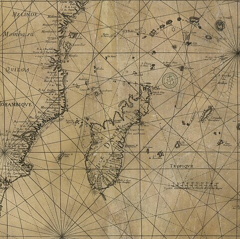
[edit]| Carte française de l'Océan Indien
( |
|||||||||||||||||||||||||||
|---|---|---|---|---|---|---|---|---|---|---|---|---|---|---|---|---|---|---|---|---|---|---|---|---|---|---|---|
| Title |
Carte française de l'Océan Indien |
||||||||||||||||||||||||||
| Description |
Français : Sujet : Indien, Océan
Échelle(s) : [Ca 1:11 175 000], Lieues germaniques à raison de 15 au degré 100 [ = 6,9 cm] ; 10°[= 102 mm] Appartient à l’ensemble documentaire : PortulFr Couverture : Océan Indien Langue : latin Éditeur : [s.n.] |
||||||||||||||||||||||||||
| Date | between 1670 and 1710 | ||||||||||||||||||||||||||
| Dimensions | height: 83 cm (32.6 in); width: 98 cm (38.5 in) | ||||||||||||||||||||||||||
| Collection |
|
||||||||||||||||||||||||||
| References |
Français : Notice de recueil : http://catalogue.bnf.fr/ark:/12148/cb435439970
Appartient à : [Division 3 du portefeuille 213 du Service hydrographique de la marine consacré aux cartes générales de l'océan Indien] ; 21 Notice du catalogue : http://catalogue.bnf.fr/ark:/12148/cb40782438m |
||||||||||||||||||||||||||
| Source/Photographer |
Français : Bibliothèque nationale de France, département Cartes et plans, CPL GE SH 18E PF 213 DIV 3 P 21 RES
Bibliothèque nationale de France (1/2) |
||||||||||||||||||||||||||
| Permission (Reusing this file) |
|
||||||||||||||||||||||||||
| Other versions | |||||||||||||||||||||||||||

.jpg)
File history
Click on a date/time to view the file as it appeared at that time.
| Date/Time | Thumbnail | Dimensions | User | Comment | |
|---|---|---|---|---|---|
| current | 21:28, 14 August 2022 | | 4,096 × 4,080 (2.8 MB) | Enyavar (talk | contribs) | File:Carte française de l'Océan Indien - btv1b59057849 (1 of 2).jpg cropped 66 % horizontally, 60 % vertically using CropTool with precise mode. |
You cannot overwrite this file.
File usage on Commons
The following 4 pages use this file: