File:Guam village map, CMSP.svg
Jump to navigation
Jump to search

Size of this PNG preview of this SVG file: 460 × 600 pixels. Other resolutions: 184 × 240 pixels | 368 × 480 pixels | 589 × 768 pixels | 785 × 1,024 pixels | 1,570 × 2,048 pixels.
Original file (SVG file, nominally 460 × 600 pixels, file size: 899 KB)
Captions
Captions
Add a one-line explanation of what this file represents
Summary[edit]
| Description |
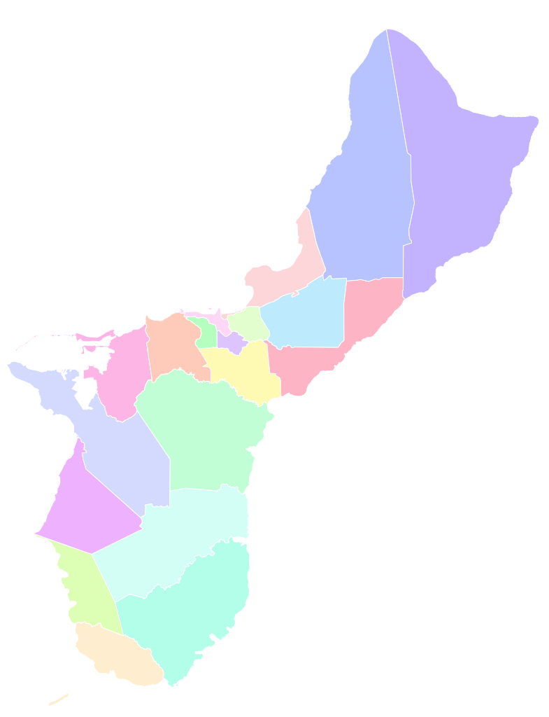
English: A series of standardized county/subdivision maps for each U.S. state and territory, sharing a common page width, line weight, and level of detail. Projection:NAD 1983 StatePlane Guam FIPS 5400 (US Feet). Data source: Pacific Islands Coastal and Marine Spatial Planning, Guam CMSP Data Portal. Made with ArcGIS Pro, refined with Inkscape. |
| Date | |
| Source | Own work |
| Author | MisterElection2001 |
| SVG development |
Licensing[edit]
I, the copyright holder of this work, hereby publish it under the following license:
This file is licensed under the Creative Commons Attribution-Share Alike 4.0 International license.
- You are free:
- to share – to copy, distribute and transmit the work
- to remix – to adapt the work
- Under the following conditions:
- attribution – You must give appropriate credit, provide a link to the license, and indicate if changes were made. You may do so in any reasonable manner, but not in any way that suggests the licensor endorses you or your use.
- share alike – If you remix, transform, or build upon the material, you must distribute your contributions under the same or compatible license as the original.
File history
Click on a date/time to view the file as it appeared at that time.
| Date/Time | Thumbnail | Dimensions | User | Comment | |
|---|---|---|---|---|---|
| current | 12:48, 13 April 2024 | | 460 × 600 (899 KB) | Watchduck (talk | contribs) | remove left and right margins |
| 20:49, 24 October 2021 |  | 794 × 794 (900 KB) | WikiBunny2K1 (talk | contribs) | Reverted to version as of 22:19, 16 October 2021 (UTC) | |
| 01:50, 19 October 2021 |  | 794 × 794 (921 KB) | WikiBunny2K1 (talk | contribs) | Labeled village names | |
| 22:19, 16 October 2021 |  | 794 × 794 (900 KB) | WikiBunny2K1 (talk | contribs) | Uploaded own work with UploadWizard |
You cannot overwrite this file.
File usage on Commons
There are no pages that use this file.