File:San Celoni fachada.jpg
Jump to navigation
Jump to search

Size of this preview: 800 × 423 pixels. Other resolutions: 320 × 169 pixels | 640 × 339 pixels | 1,024 × 542 pixels | 1,280 × 677 pixels | 2,581 × 1,366 pixels.
Original file (2,581 × 1,366 pixels, file size: 1.06 MB, MIME type: image/jpeg)
Captions
Captions
Add a one-line explanation of what this file represents
Summary[edit]
| Camera location | | View this and other nearby images on: OpenStreetMap |
|---|
Licensing[edit]
This file is licensed under the Creative Commons Attribution 3.0 Unported license.
- You are free:
- to share – to copy, distribute and transmit the work
- to remix – to adapt the work
- Under the following conditions:
- attribution – You must give appropriate credit, provide a link to the license, and indicate if changes were made. You may do so in any reasonable manner, but not in any way that suggests the licensor endorses you or your use.
| This image, which was originally posted to Panoramio, was reviewed on 23 March 2012 by the administrator or trusted user Materialscientist, who confirmed that it was available on Panoramio under the above license on that date. |
File history
Click on a date/time to view the file as it appeared at that time.
| Date/Time | Thumbnail | Dimensions | User | Comment | |
|---|---|---|---|---|---|
| current | 20:14, 28 March 2012 | | 2,581 × 1,366 (1.06 MB) | Cropbot (talk | contribs) | upload cropped version, operated by User:Bernard. Summary: cropped |
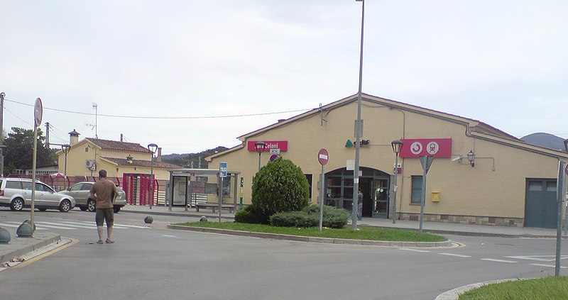
| 18:53, 23 March 2012 |  | 2,592 × 1,944 (1.48 MB) | Bernard (talk | contribs) | {{Information |Description= Fachada de la estación |Source=[http://www.panoramio.com/photo/27335183 panoramio] |Date=2009-08-25 17:49 |Author=[http://www.panoramio.com/user/670143 pascal.] |Permission= |other_versions= }} {{Location dec|41.685909|2.49... |
You cannot overwrite this file.
File usage on Commons
The following 3 pages use this file:
File usage on other wikis
The following other wikis use this file:
- Usage on ca.wikipedia.org
- Usage on eo.wikipedia.org
- Usage on es.wikipedia.org
- Usage on fr.wikipedia.org
- Usage on hu.wikipedia.org
- Usage on it.wikipedia.org
- Usage on pl.wikipedia.org
- Usage on www.wikidata.org