File:Michigan county map, cb 500k.svg
Jump to navigation
Jump to search

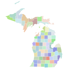
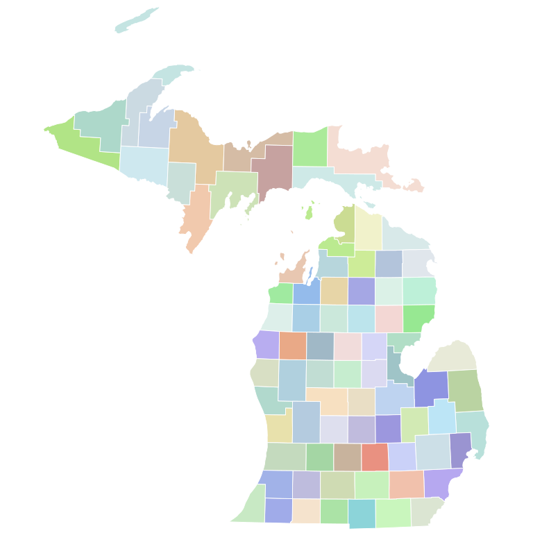
Size of this PNG preview of this SVG file: 600 × 600 pixels. Other resolutions: 240 × 240 pixels | 480 × 480 pixels | 768 × 768 pixels | 1,024 × 1,024 pixels | 2,048 × 2,048 pixels | 810 × 810 pixels.
Original file (SVG file, nominally 810 × 810 pixels, file size: 36 KB)
Captions
Captions
Add a one-line explanation of what this file represents
Summary[edit]
| Description | A series of standardized county maps for each U.S. state, sharing a common page width, line weight, and level of detail. Projection: ESRI:102004 Lambert Conformal Conic. Data source: US Census, Tiger/Line, cb_500k. Made with QGIS, refined with Inkscape. |
| Date | |
| Source | Own work |
| Author | awmcphee |
Licensing[edit]
I, the copyright holder of this work, hereby publish it under the following license:
| This file is made available under the Creative Commons CC0 1.0 Universal Public Domain Dedication. | |
| The person who associated a work with this deed has dedicated the work to the public domain by waiving all of their rights to the work worldwide under copyright law, including all related and neighboring rights, to the extent allowed by law. You can copy, modify, distribute and perform the work, even for commercial purposes, all without asking permission.
|
File history
Click on a date/time to view the file as it appeared at that time.
| Date/Time | Thumbnail | Dimensions | User | Comment | |
|---|---|---|---|---|---|
| current | 02:49, 17 December 2022 | | 810 × 810 (36 KB) | Awmcphee (talk | contribs) | V2 simplified geometry |
| 02:05, 19 August 2021 |  | 744 × 744 (374 KB) | Elli (talk | contribs) | meaningful county names | |
| 02:07, 26 March 2021 |  | 744 × 744 (375 KB) | Awmcphee (talk | contribs) |
You cannot overwrite this file.
File usage on Commons
The following 20 pages use this file:
- User:Awmcphee/gallery
- File:1972 Michigan Proposal B results map by county.svg
- File:1994 Michigan Secretary of State election results map by county.svg
- File:1998 Michigan Secretary of State election results map by county.svg
- File:2000 Michigan Republican presidential primary election results map by county (vote share).svg
- File:2004 Michigan Proposal 2 results map by county.svg
- File:2015 Michigan Proposal 1 results map by county.svg
- File:2018 Michigan Attorney General election results map by county.svg
- File:2018 Michigan Proposal 1 results map by county.svg
- File:2018 Michigan Proposal 2 results map by county.svg
- File:2018 Michigan Proposal 3 results map by county.svg
- File:2020 Michigan Proposal 1 results map by county.svg
- File:2020 Michigan Proposal 2 results map by county.svg
- File:2020 United States Senate election in Michigan results map by county.svg
- File:2022 Michigan Attorney General election results map by county.svg
- File:2022 Michigan Proposal 1 results map by county.svg
- File:2022 Michigan Proposal 2 results map by county.svg
- File:2022 Michigan Proposal 3 results map by county.svg
- File:2022 Michigan Secretary of State election results map by county.svg
- File:2022 Michigan gubernatorial election results map by county.svg
.svg)