User:Giftzwerg 88/Fotoprojekt Balingen
Jump to navigation
Jump to search
| This is a gallery of files created by Giftzwerg 88. |
Bahnhof Balingen
[edit]| Object location | | View all coordinates using: OpenStreetMap |
|---|
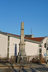
Skulpturen in Balingen
[edit]Diverse Gebäude
[edit]Bizerba
[edit]Stadtkirche
[edit]Heilig Geist Kirche
[edit]Stauwehr
[edit]| Object location | | View all coordinates using: OpenStreetMap |
|---|


