User:Giftzwerg 88/Fotoprojekt Nufringen
Jump to navigation
Jump to search
| This is a gallery of files created by Giftzwerg 88. |
Kriegerdenkmal
[edit]| Object location | | View all coordinates using: OpenStreetMap |
|---|
Friedhof
[edit]| Object location | | View all coordinates using: OpenStreetMap |
|---|
Eisenbahnbrücken
[edit]| Object location | | View all coordinates using: OpenStreetMap |
|---|
| Object location | | View all coordinates using: OpenStreetMap |
|---|
Haltepunkt Nufringen
[edit]| Object location | | View all coordinates using: OpenStreetMap |
|---|
Gebäude
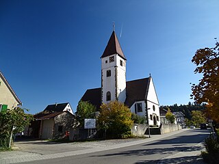
[edit]Pelagiuskirche
[edit]| Object location | | View all coordinates using: OpenStreetMap |
|---|
Gemeindehaus der Baptisten
[edit]| Object location | | View all coordinates using: OpenStreetMap |
|---|
Neuapostolische Kirche
[edit]| Object location | | View all coordinates using: OpenStreetMap |
|---|
St. Maria Nufringen
[edit]| Object location | | View all coordinates using: OpenStreetMap |
|---|


